Risk of flooding and damage from landslides
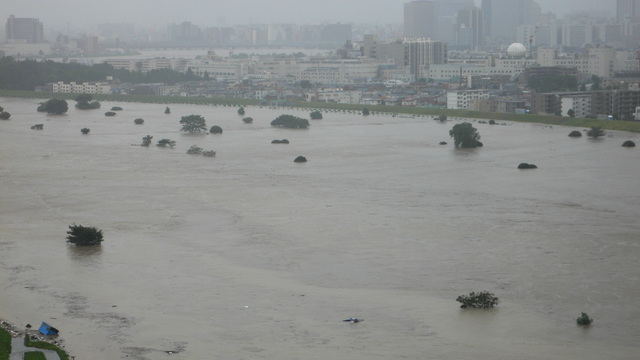
In recent years, very heavy rainfall in excess of 50mm per hour has become a common occurrence, and in 2019 Typhoon No. 19 caused a number of river embankments to break due to a concentration of rainfall in less than 24 hours that exceeded the planned amount of rainfall. Local governments have also designated landslide hazard areas as a result of a series of landslides caused by very heavy rainfall. Local governments publish information on the risk of flooding and landslides, which may be available on their websites or may require a visit to the local government office.
Here is a link to a website that makes it easy to search for hazard maps from various local authorities. Unfortunately, most of the information is only available in Japanese, but we hope you will still find it useful. This information is particularly important when buying land or considering where to move.
https://disaportal.gsi.go.jp/hazardmap/index.html
When buying a property or renting a house, it is advisable to be aware of the risks of flooding in low-lying areas and landslides near cliffs.


